
The best hikes in Costa Rica lead somewhere distinctive: a volcanic river, remote beach, páramo summit, geothermal basin or cloud-forest divide. Distance alone is a poor measure of difficulty. Heat and humidity can turn a level coastal trail into a draining day, while mud, stairs, altitude and river conditions transform short mountain routes. The same walk may feel completely different after overnight rain.
Costa Rica also separates hiking access among national parks, private reserves and community-managed areas. Some routes require timed reservations or authorized guides; others close because of volcanic activity, flooding or trail damage. Confirm the exact sector and entrance before driving, download an offline map and start early enough to finish before park gates close. These twelve choices cover the country's major landscapes while favoring routes where walking is essential to understanding the place.
Costa Rica hikes at a glance
| Hike | Landscape | Difficulty | Typical time |
|---|---|---|---|
| Cerro Chirripó | High mountain and páramo | Hard | 2–3 days |
| Río Celeste | Rainforest and volcanic river | Moderate | 3–5 hours |
| Las Pailas | Geothermal forest | Easy–moderate | About 2 hours |
| Cabo Blanco | Dry forest and remote beach | Hard | 5–7 hours |
| Corcovado, Sirena sector | Remote rainforest | Moderate–hard | Full day or overnight |
| Cahuita coastal trail | Caribbean forest and coast | Moderate | 3–6 hours |
The 12 best hikes in Costa Rica
1. Summit Cerro Chirripó
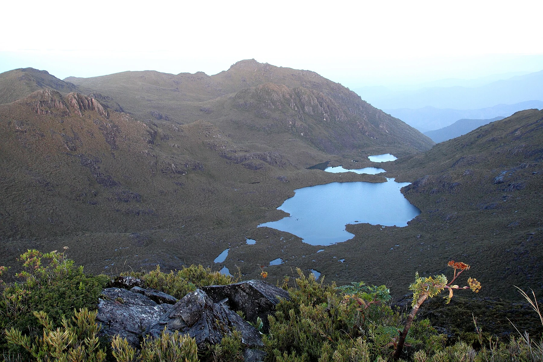
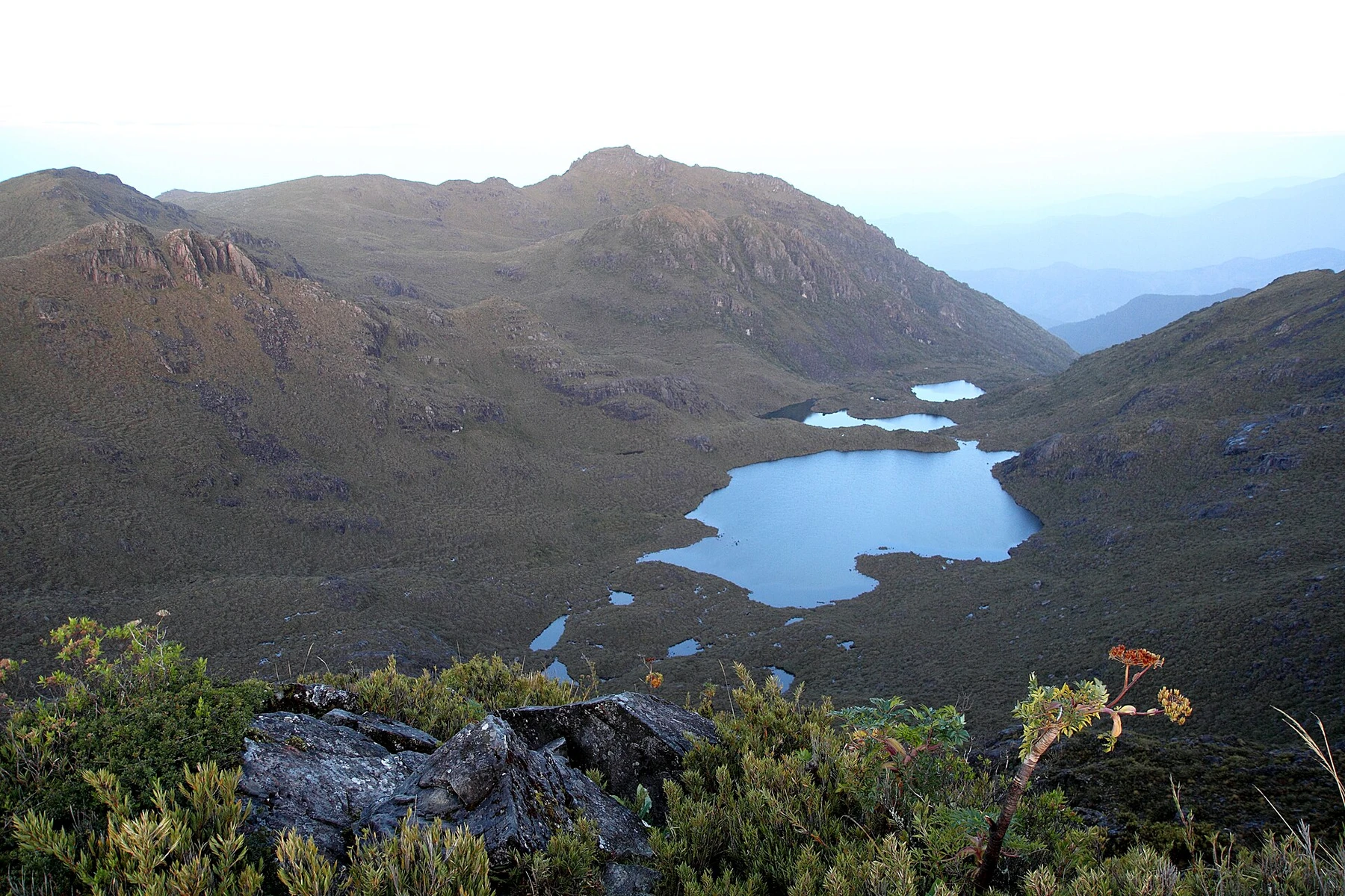
Costa Rica's highest summit, at 3,820 metres, is the country's defining mountain objective. The standard approach from San Gerardo de Rivas climbs through montane forest into páramo and high valleys before reaching Crestones Base Lodge. Most hikers sleep there and leave before dawn for the summit, turning the route into a two- or three-day expedition.
Advance reservations are required for park entry and lodging, and related services may need separate confirmation. SINAC describes the main ascent as a six-to-nine-hour climb; train for a sustained elevation gain and a second demanding day. Carry rain protection, a headlamp and warm layers for near-freezing predawn conditions. Arrive in San Gerardo the previous day rather than adding a long drive to the ascent.
2. Hike to Río Celeste
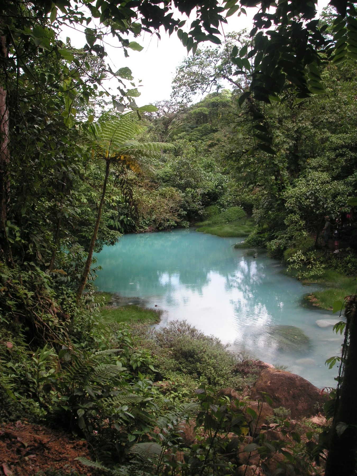
The Tenorio Volcano National Park trail descends to a vivid blue waterfall and continues through humid forest toward Laguna Azul, geothermal features and the confluence where suspended mineral particles produce the river's color. Completing the principal sights normally takes three to five hours once stairs, mud and viewpoint stops are included.
Reserve entry through SINAC and confirm the selected arrival time. Swimming is prohibited in the protected river inside the park, and rain can temporarily dull the famous color without making the forest walk a failure. Bijagua is the easiest base; starting early brings cooler air and more time before afternoon rain.
3. Walk the Las Pailas geothermal loop
The three-kilometre Las Pailas circuit at Rincón de la Vieja passes fumaroles, boiling mud and steaming ground while moving between dry and wetter forest. SINAC estimates about two hours, making this a compact volcanic hike with more variety than a single crater viewpoint.
Reserve entry, wear closed shoes and carry water because open sections become hot. Geothermal features can exceed scalding temperatures, so every barrier and marked path matters. The active-crater trail is closed; older summit descriptions should not be treated as current access. Liberia or accommodation along the park road makes an early arrival easier.
4. Hike Cabo Blanco to Playa Cabo Blanco
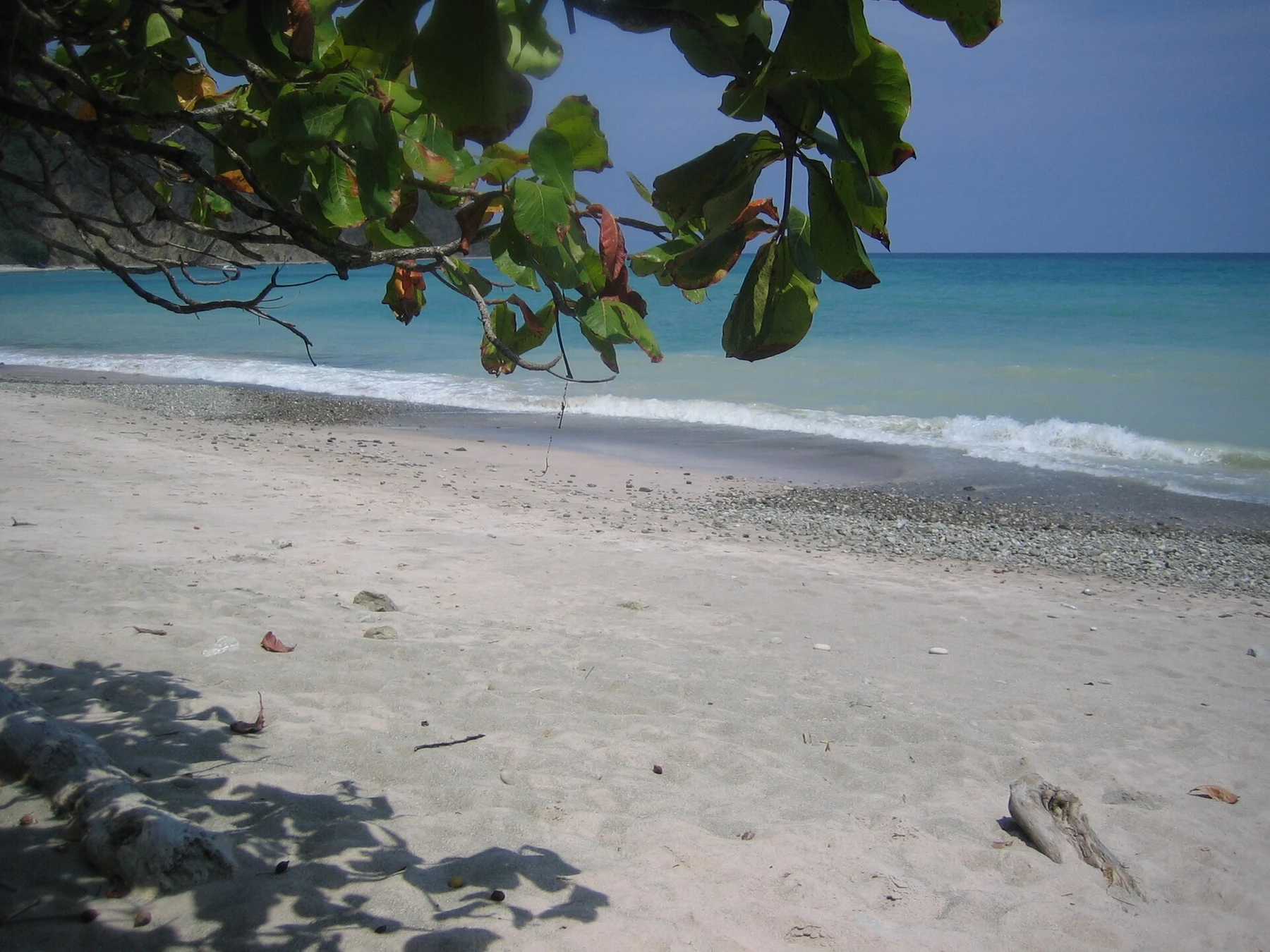
The trail across Cabo Blanco Absolute Natural Reserve crosses dry tropical forest to an isolated beach at the southern tip of the Nicoya Peninsula. Repeated climbs and descents, heat and the return journey turn approximately eight to ten kilometres of walking into a serious half-day or full-day effort.
Begin near opening, carry all the water you need and note the reserve's closing time before descending to the beach. Swimming conditions can be rough and there is no reason to delay the hike back for one more swim. Cabuya is the closest base; Montezuma adds more services but also transport time.
5. Explore the Sirena sector of Corcovado
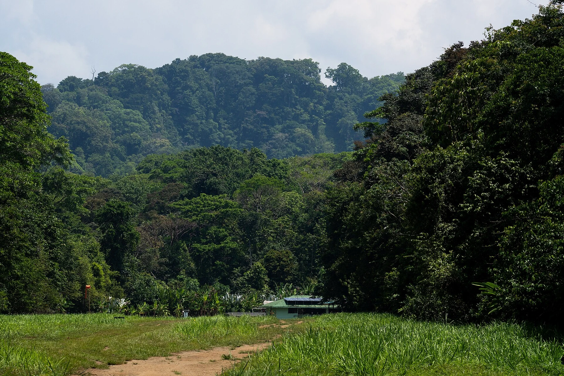
Corcovado is not a casual jungle stroll. Sirena's trail network places walkers inside remote lowland rainforest where tracks, calls and habitat are as important as any tapir, monkey or peccary sighting. Day visitors often arrive by boat from Drake Bay, while longer station-to-station routes have stricter guide requirements and much greater physical commitment.
Reserve well ahead and follow the current SINAC rules for your exact route. A registered naturalist adds wildlife awareness and manages river, tide or trail considerations. Expect humidity, mud and simple facilities, and keep food secured. Allow a full day or overnight rather than reducing Sirena to a hurried checklist.
6. Hike Punta Catedral in Manuel Antonio
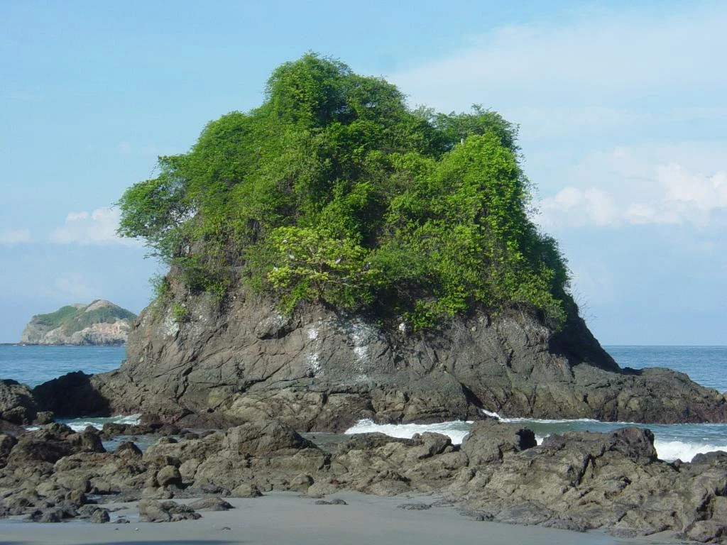
Punta Catedral's loop climbs a forested headland between beaches in Manuel Antonio National Park. The loop itself is short, but combining it with the park's connecting paths, viewpoints and a deliberate return commonly fills two to four hours. Stairs, heat and humidity make the climb more substantial than its map distance.
Buy a timed official ticket and use the authorized entrance; unofficial ticket sellers operate around the approach. Bring only food allowed under current park rules and secure every item around monkeys and raccoons. Start early for cooler conditions, then swim only where flags and staff indicate the sea is safe.
7. Walk to La Ventana in Monteverde Cloud Forest
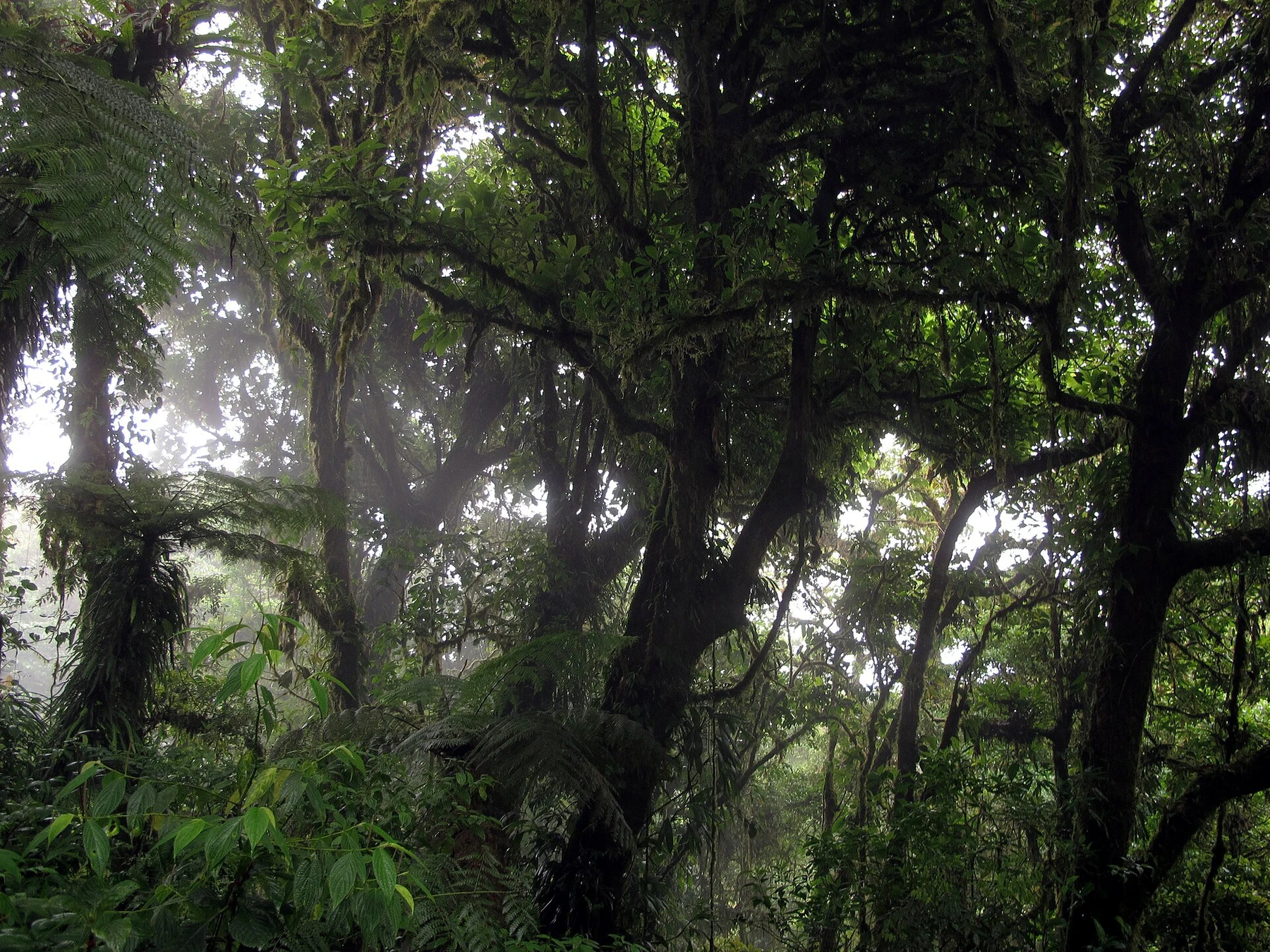
The La Ventana route moves through dense cloud forest toward a viewpoint near the continental divide. Depending on the selected loop and connecting trails, allow two to four hours. Mist, wind and shifting visibility are part of the ecosystem rather than a failed panorama; epiphytes, birds and forest structure reward slow walking.
Reserve directly with the Monteverde Cloud Forest Reserve when required and confirm transport, because road time and parking can complicate a morning start. Wear a rain layer and shoes that handle mud. Move quietly, keep to marked paths and use a naturalist guide if birds and smaller forest details are a priority.
8. Climb to the Santa Elena observation tower
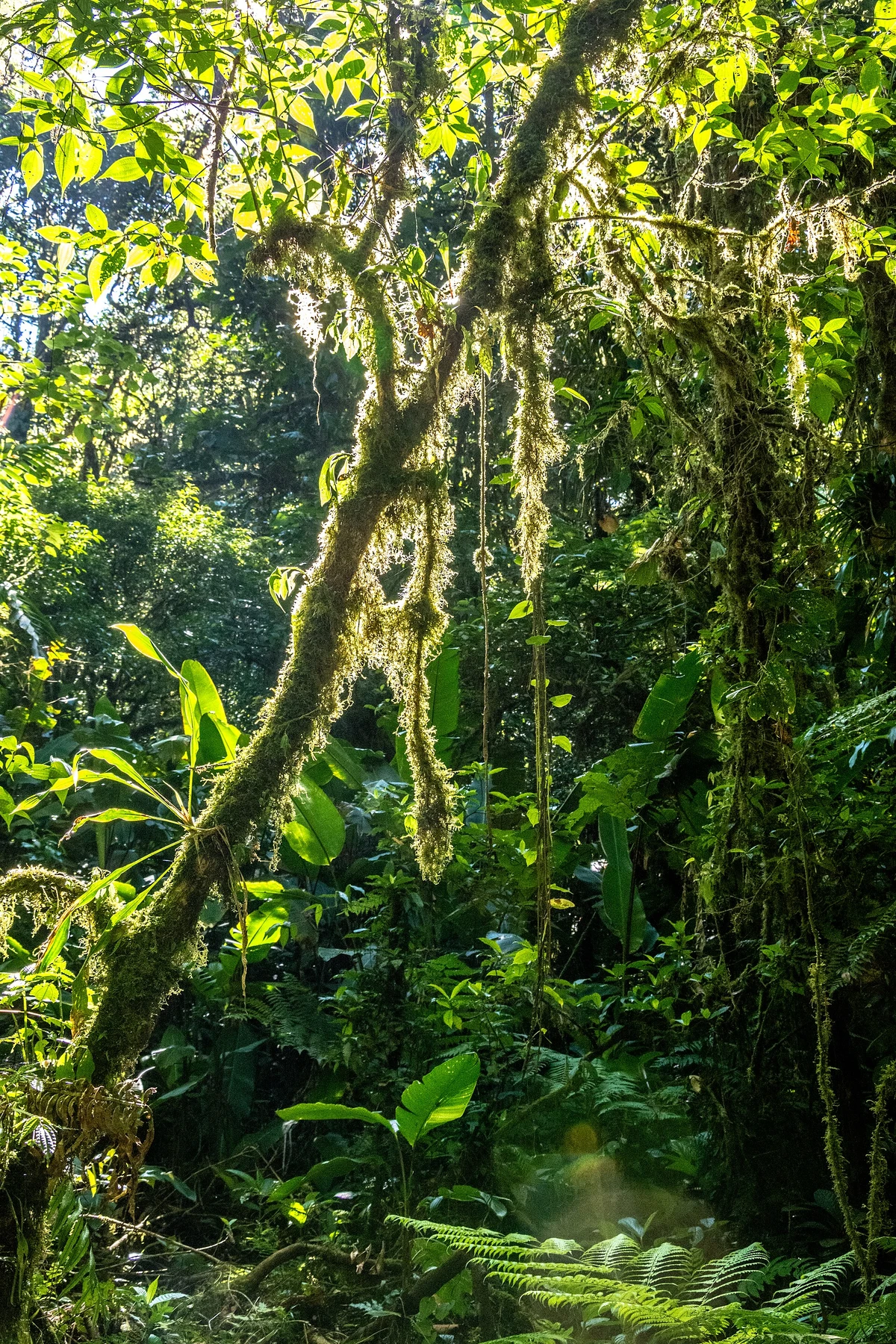
Santa Elena Reserve's community-managed trail network offers a quieter alternative in the Monteverde highlands. Loops pass dense forest and, on routes that include it, an observation tower above the canopy with broad views when cloud lifts. Route combinations range from roughly two hours to most of a morning.
Ask staff which trail is in the best condition that day and whether the tower is open. Roots, wet boards and slick slopes require patience even on shorter loops. Fees support local management, and a guide can make a misty day more rewarding by focusing attention on calls, plants and forest succession.
9. Hike to La Cangreja Waterfall
From Rincón de la Vieja's Las Pailas sector, the La Cangreja trail crosses forest, open volcanic terrain and river habitat before reaching a pale-blue waterfall. SINAC lists it at roughly ten kilometres return and four to five hours, a far more demanding outing than the geothermal loop.
Access may be time-limited or regulated in the rainy season, and swimming is not permitted at the waterfall. Confirm trail status on arrival, start before the cutoff and carry substantial water and sun protection. Do not attempt to squeeze this route and Las Pailas into a rushed late start.
10. Follow Tortuguero's Jaguar Trail
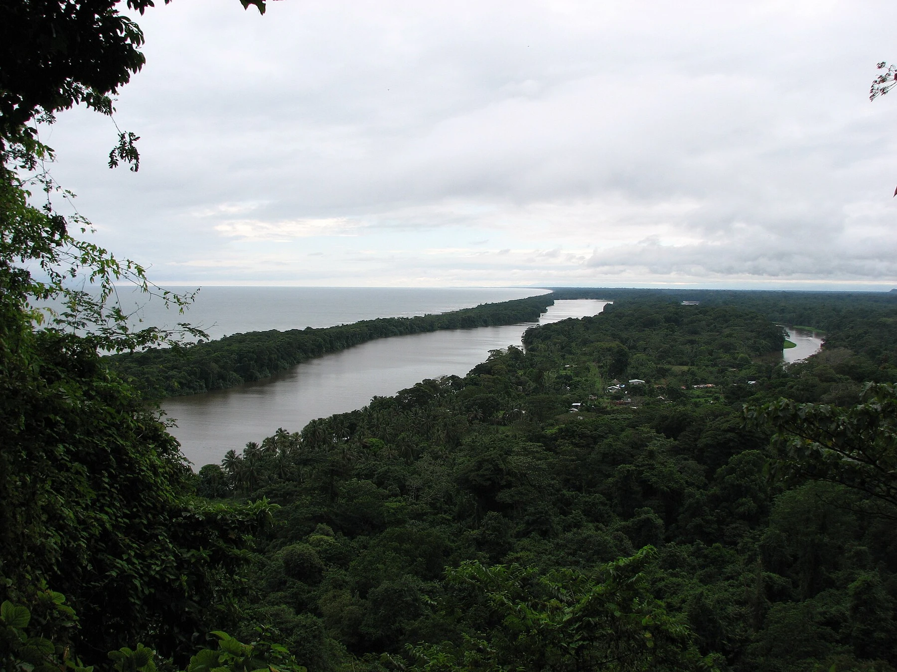
The Jaguar Trail provides a rare on-foot counterpoint to Tortuguero's canal journeys. The relatively short coastal route enters humid rainforest near the village and beach, where mud, standing water, roots and wildlife signs create more interest than distance alone suggests.
Reserve the correct Tortuguero sector through SINAC and ask rangers about recent flooding. Wear closed shoes rather than beach sandals, carry insect protection and stay away from the surf during strong conditions. Turtle-nesting beach access follows separate seasonal controls; a daytime hike does not grant permission for an unguided night visit.
11. Hike the Cahuita coastal trail
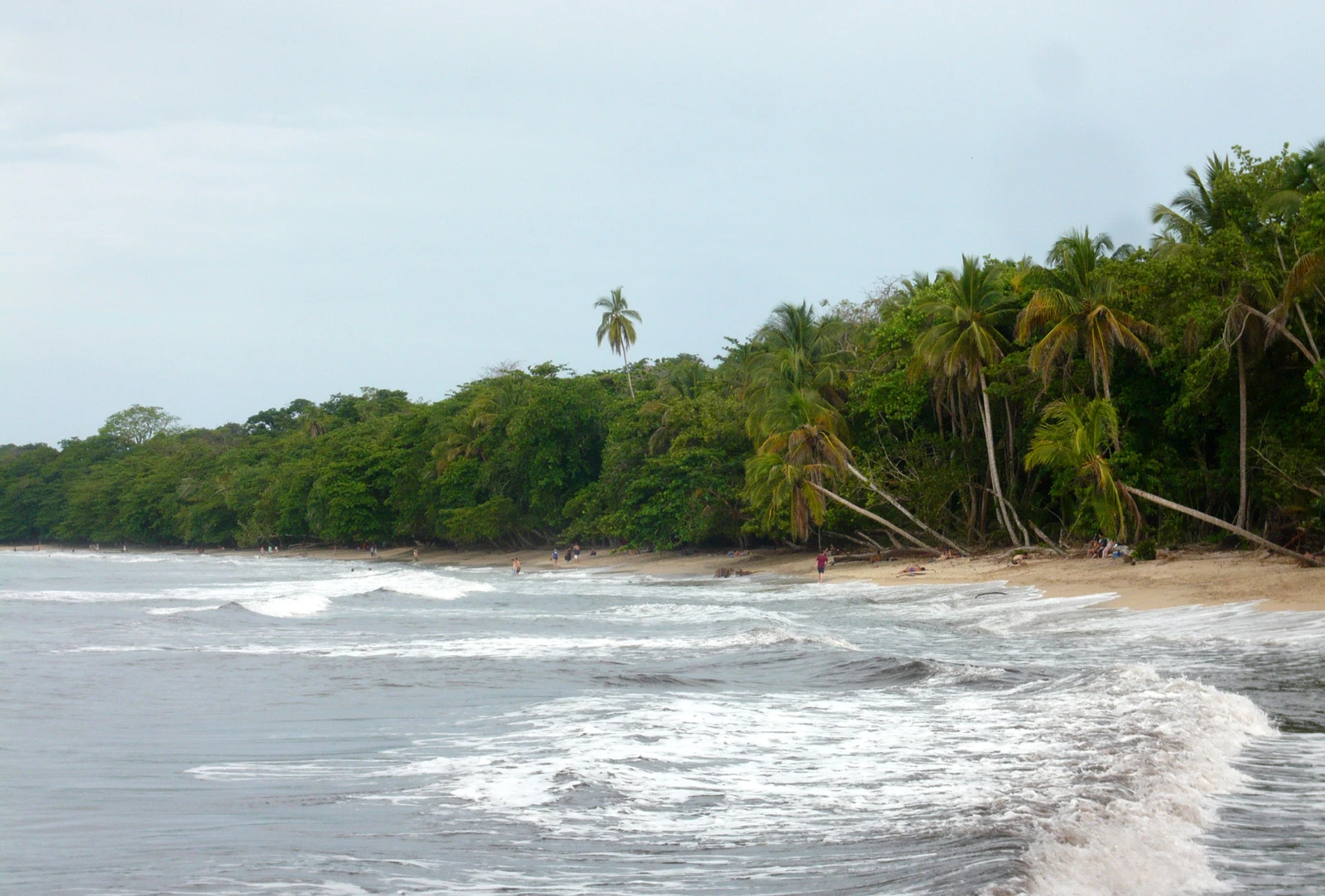
Cahuita's trail threads between Caribbean forest, beaches and reef-backed water from the Kelly Creek entrance toward Punta Cahuita and Puerto Vargas. Walking the entire connection is roughly eight kilometres one way, while an out-and-back to the point creates a shorter three-to-five-hour day depending on wildlife stops.
Confirm which entrances and return transport are operating before committing to a one-way walk. Heat and humidity add up despite the low elevation. Do not feed monkeys, raccoons or coatis, keep bags closed and follow swimming guidance. Cahuita town makes the simplest base for an early start.
12. Climb Cerro Tortuguero
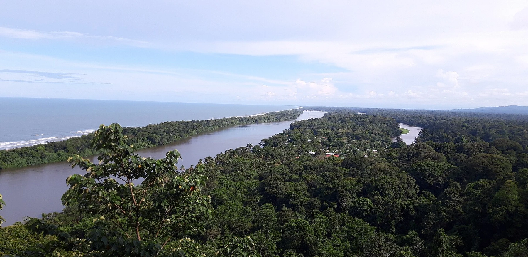
Cerro Tortuguero is a short, steep ascent to an elevated view over canals, forest and Caribbean lowlands. Its height is modest, but stairs, humidity and rain make the managed trail a real physical outing. Including authorized boat transport and time at the viewpoint, allow half a day from Tortuguero village.
Reserve the relevant park entry and arrange transport through an established local service. Steps can be slick, and water and insect protection are useful even on the brief climb. Stay on the constructed trail to protect vegetation and avoid wildlife encounters off route.
When is the best time to hike in Costa Rica?
There is no single best month for every region. The Pacific side is generally drier during the northern winter, while Caribbean weather follows a different pattern and mountain rain can occur year-round. Chirripó's high country remains cold and exposed in every season. Early starts usually bring cooler temperatures, more active wildlife and enough time to respond to delays.
Wet-season walking can mean greener forest and fewer visitors, but also mud, swollen rivers and regulated trail access. Check the whole watershed before waterfall or canyon routes, not only the forecast at the trailhead.
Which Costa Rica hike should you choose?
Choose Chirripó for a multi-day summit, Río Celeste or Las Pailas for volcanic landscapes, Cabo Blanco or Cahuita for a coast reached on foot, and Sirena for a guide-led rainforest expedition. Monteverde and Santa Elena work best for slow cloud-forest observation rather than distance or elevation targets.
For shorter walks with dramatic destinations, see the best waterfalls in Costa Rica. For rafting, caves, surfing and diving, explore the best adventure activities in Costa Rica, or compare the country's volcano experiences.
Before you go
- Reserve protected areas through the official SINAC system or responsible local manager.
- Confirm the exact sector, entrance, trail cutoff and return transport.
- Hire an authorized guide where rules or route complexity require one.
- Carry water, sun protection, rain protection, navigation and a headlamp on longer days.
- Turn around for rising rivers, thunderstorms, volcanic restrictions or fading daylight.