

Morocco's hiking routes range from a short climb above Chefchaouen to multi-day treks in the Atlas. The Rif brings river paths and waterfalls; the High Atlas has high passes and exposed summits; the Anti-Atlas offers dry mountain trails and long views. Choose by altitude, season and time available, then check conditions with a local guide before setting out.
The Moroccan National Tourist Office highlights trekking in Talassemtane, the Atlas and the Sahara. On high or remote routes, carry navigation, water and layers for changing weather. Hire a qualified local guide when the route or current rules require one.
Morocco hikes at a glance
| Hike | Region | Effort | Main consideration |
|---|---|---|---|
| Jebel Toubkal | High Atlas | Very high | Altitude, snow and guide requirement |
| Jbel M’Goun | High Atlas | Very high | Multi-day route and weather |
| Lake Ifni | High Atlas | High | Remote, exposed approach |
| Akchour waterfalls | Rif | Moderate | Wet limestone and return daylight |
| God’s Bridge | Rif | Moderate | Uneven gorge path |
| Jbel Lkest | Anti-Atlas | High | Long ascent and limited water |
The 12 best hikes in Morocco
Climb Jebel Toubkal
At 4,167 metres, Jebel Toubkal is North Africa’s highest summit. The route from the Imlil side passes through Toubkal National Park, with mountain refuges before the final ascent. Altitude, cold, wind and seasonal snow can make the climb demanding.
A licensed local guide is required for the ascent. Arrange one before you go, allow time to acclimatize, and follow the guide’s decision if conditions change.
View in GoExploringTrek from Amsouzart to Lake Ifni
The route from Amsouzart climbs into the Toubkal massif and reaches Lake Ifni, a remote alpine lake beneath steep slopes. The approach is sustained and exposed, with little shelter from sun or changing weather.
Carry enough water and food for the route, and decide in advance where you will turn around if conditions worsen. A local guide can help with route and overnight planning.
View in GoExploringTrek to Akchour’s Grande Cascade
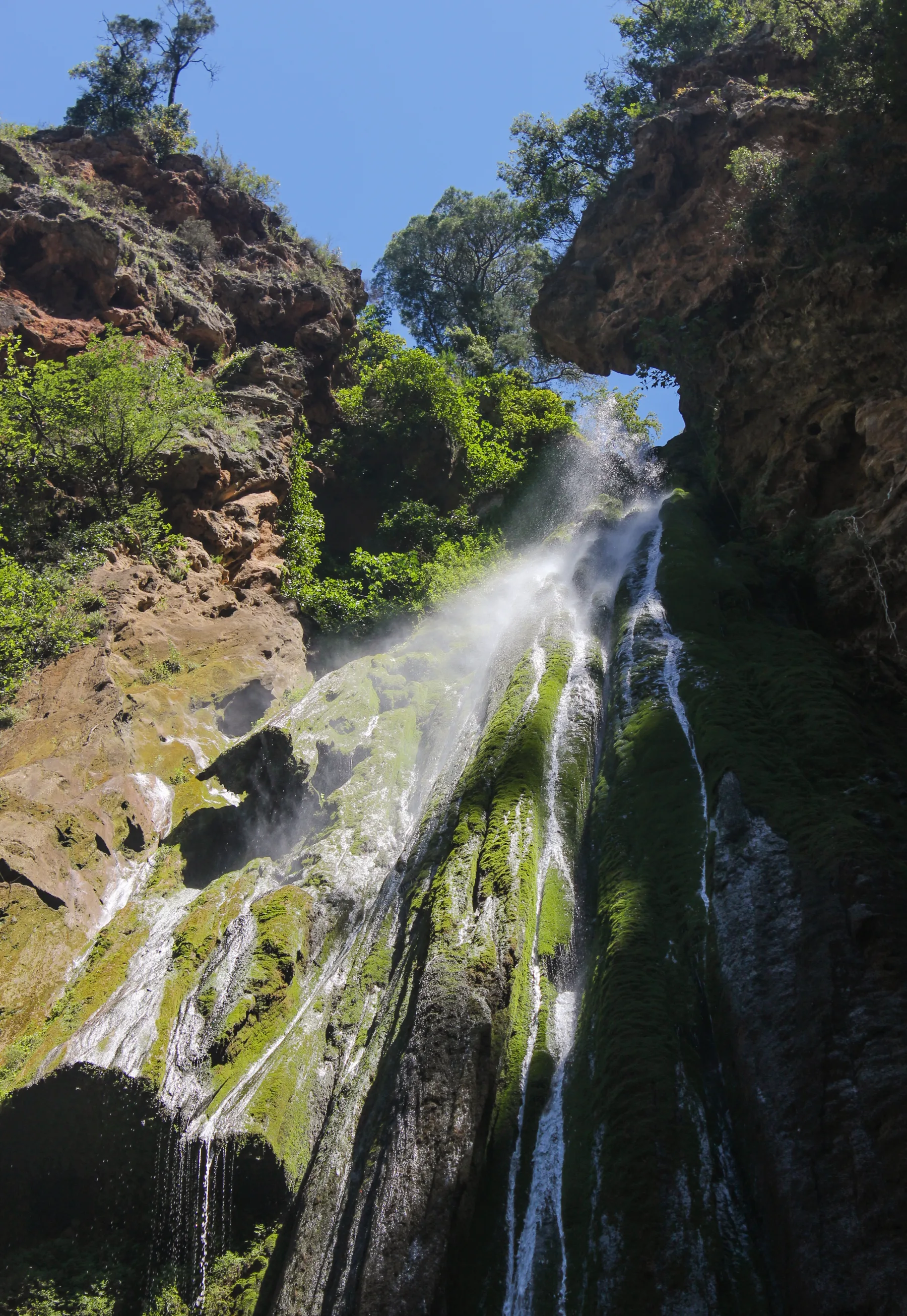
A riverside trail leads from the Akchour trailhead through the Rif Mountains to the Grande Cascade. It is a long walk, so leave enough daylight for the return. Limestone can be slippery after rain, and heavy rainfall can change river conditions.
Wear shoes with grip and ask locally about recent weather before starting. Turn back if the river is high or the path is unsafe.
View in GoExploringHike to God’s Bridge at Akchour
The natural arch known as God’s Bridge sits in the Akchour gorge. The approach follows uneven ground beside the river, with rock underfoot and sections that can become slick.
Take care on wet surfaces and stay on established paths. Check the weather before entering the gorge, especially after heavy rain.
View in GoExploringClimb to Chefchaouen’s Spanish Mosque viewpoint
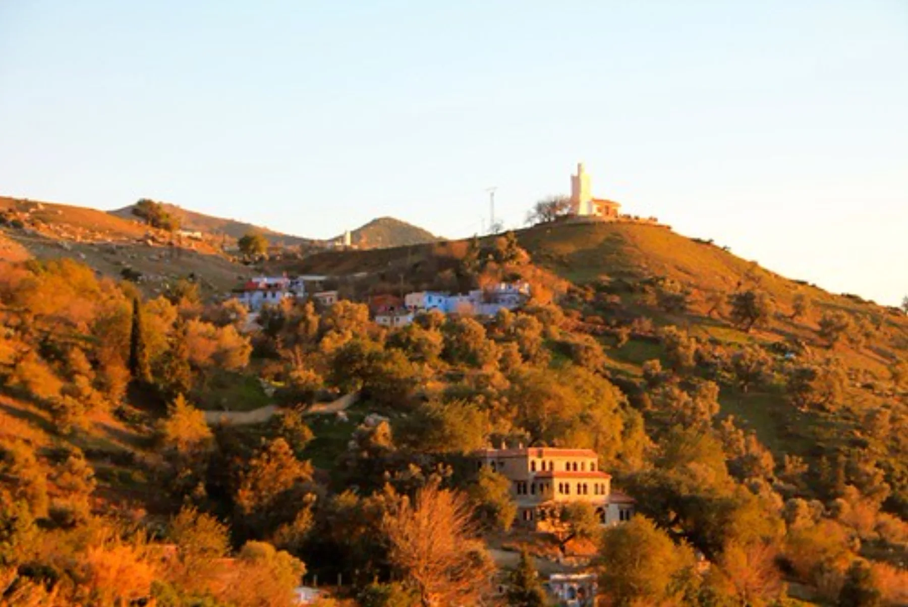
A short uphill path on Chefchaouen’s eastern side reaches the Spanish Mosque and an open view across the blue medina and Rif slopes. The trail is straightforward, though it is exposed to the sun and the small viewpoint gets busier around sunset.
Bring water and consider going earlier in the day for a quieter walk. Keep the mosque and its grounds in good condition.
View in GoExploringClimb Jbel M’Goun
The Jbel M’Goun route is a multi-day trek through the High Atlas, finishing on a 4,068-metre summit ridge. Cold, wind and seasonal snow can raise the difficulty, even in the warmer months.
Plan the full route with experienced local support and check conditions before committing to the ridge. Build in enough time for a safe descent.
View in GoExploringHike to the Imsfrane Cathedral viewpoint
The Imsfrane limestone wall rises above the Tamga landscape and gives this walk its destination. Established paths lead through mountain terrain toward views of the broad cliff face.
Keep a respectful distance from the cliff and use existing trails. The route is exposed, so carry water and sun protection.
View in GoExploringClimb Jbel Tazekka through the national park
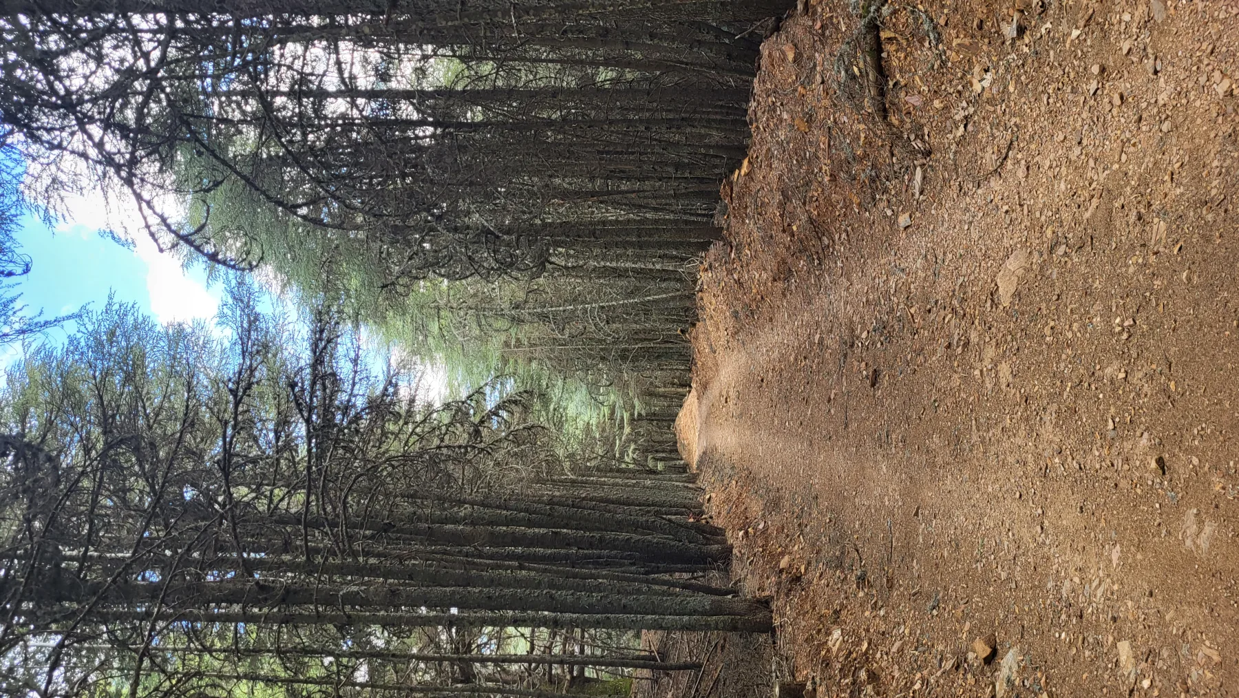
Jbel Tazekka rises within Tazekka National Park in the Middle Atlas. A mountain trail makes this a different kind of outing from the busier routes around Marrakech: plan for a full walk and changing conditions.
Check access and weather locally, stay on established paths and bring layers for the mountain. Leave time to descend before dark.
View in GoExploringClimb Jbel Lkest from Tagdicht
The climb from Tagdicht gains about 1,000 metres to a summit overlooking the Ammeln Valley and Anti-Atlas ridges. The stony route is long, and there is no dependable water along the way.
Carry all the water you need and reliable navigation. Start early enough to complete the descent in daylight.
View in GoExploringTrek to the summit of Jbel Sirwa
Jbel Sirwa rises between the High Atlas and Anti-Atlas. The route crosses high, remote terrain, and snow or poor weather can change the upper sections.
Plan with a guide familiar with the area, carry navigation and warm layers, and avoid improvising a summit route.
View in GoExploringClimb Jbel Ayachi
Jbel Ayachi’s 3,747-metre summit lies in the eastern High Atlas, away from the Toubkal corridor. The long ascent and remote setting call for sound route planning and a full day for the climb and descent.
Bring navigation, water and clothing for fast weather changes. Seasonal snow can make the route more demanding.
View in GoExploringClimb to Setti Fatma’s first waterfall
From Setti Fatma in the Ourika Valley, a steep hillside path climbs toward the first waterfall. The route is short, but uneven rock and wet steps can make it slow going.
Use shoes with grip and take care on slick ground. Turn back if the path is wet enough to make the climb unsafe.
View in GoExploringChoosing a Morocco hike
Chefchaouen and Akchour suit walks in the Rif; Imlil and Amsouzart are starting points for High Atlas routes; Tagdicht and the Jbel Sirwa area lead into the Anti-Atlas. Distances between regions are substantial, so give each area time instead of linking distant trailheads in a rushed day.
Continue with Morocco’s best adventure activities and historic sites.
Before setting out
- Check weather, trail access and guide requirements with local authorities or guides.
- Acclimatize before high-altitude routes.
- Carry water, navigation and layers suited to the route.
- Start early and leave enough daylight for the descent.
- Turn back when weather, altitude or trail conditions become unsafe.