
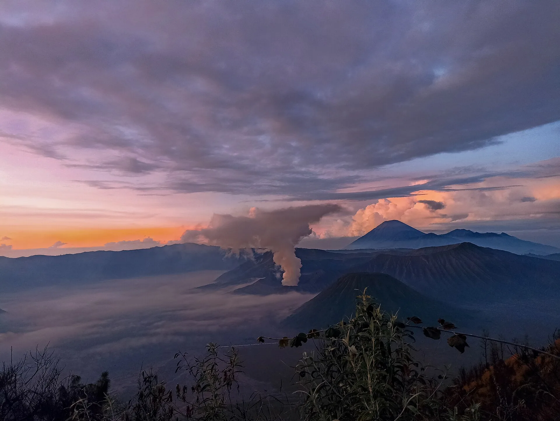
You can build an Indonesian walking trip around working rice terraces, forest approaches to highland villages or volcanic terrain. These six routes give you alternatives to committing to a major summit expedition. They still involve local entry arrangements and, in some places, steep ground or volcanic hazards.
Plan each outing separately. The table compares physical effort; technical difficulty and exposure can differ. Each mission on the map has its location and preparation details.
Compare the experiences
| Experience | Physical effort |
|---|---|
| Walk through Jatiluwih’s rice terraces | Low |
| Hike from Denge to Wae Rebo | Moderate |
| Hike through forest to Lake Gunung Tujuh | High |
| Climb Sikunir before sunrise | Moderate |
| Hike through Papandayan’s crater landscape | Moderate |
| Climb Nglanggeran’s ancient volcano | Moderate |
Choose your route
Jatiluwih is the choice for walking through cultivated terraces. Wae Rebo adds a sustained approach and community protocols, while Gunung Tujuh takes you through forest to a caldera lake. Sikunir needs a start in darkness; Papandayan requires particular attention to the sectors opened by the safety post.
Walk through Jatiluwih’s rice terraces
Walk designated paths through Jatiluwih’s terraced rice fields in the Catur Angga Batukaru landscape. Stay on the marked routes and out of the crops.
At Jatiluwih, working irrigation channels and cultivated terraces show how the Subak system manages water cooperatively. That shared management has shaped the fields along the paths.
A visitor ticket is required. You can walk independently or add a guide; advance booking, a permit and specialist equipment are not normally required. Farming work can alter which paths are most practical on the day.
View in GoExploringHike from Denge to Wae Rebo
Start near Denge and climb for several hours through forested highlands to reach Wae Rebo on foot. The sustained climb is the main physical challenge of reaching the village. Once there, follow local protocols in a lived-in community and ask before photographing residents.
Wae Rebo brings its Manggarai community, seven Mbaru Niang houses and remote mountain setting together in one place.
Pay the community visitor fee for either a day visit or an overnight stay. A local guide is available but not normally mandatory. Check the current Wae Rebo visitor information before going because fees and inclusions can change.
View in GoExploringHike through forest to Lake Gunung Tujuh
Use the Gunung Tujuh access and climb steeply through forest to the lake inside the high caldera. The route is physically demanding but technically straightforward. Leave enough time for the descent, stay on the visitor trail and follow any park instruction on weather or temporary closures.
That enclosed basin gives Kerinci Seblat a mountain experience distinct from climbing the park’s major peaks.
A national-park entry ticket is required through the current park or visitor-post process. No guide, advance booking, permit or specialist equipment is normally required. Confirm that the route is open before hiking.
View in GoExploringClimb Sikunir before sunrise
Start from Sembungan in darkness and climb the visitor trail to Sikunir before sunrise. The route is short but steep in places, and darkness plus cool highland weather add to the effort. Carry a reliable light and stay on the established path.
Time the climb to reach the viewpoint as daylight spreads across Dieng; the walk starts in darkness.
A local attraction ticket is required. No advance booking, guide, permit or specialist equipment is normally needed. Check current opening and weather conditions before making the pre-dawn climb.
View in GoExploringHike through Papandayan’s crater landscape
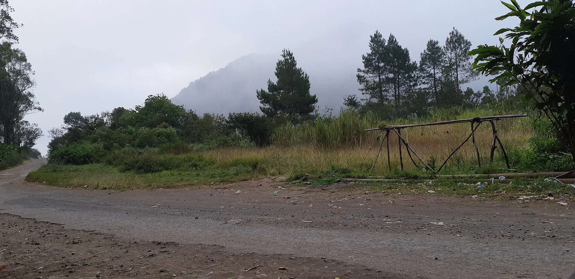
Follow the marked route through Papandayan’s crater area, where fumaroles and chemically altered rock sit close to the trail. The walking is moderate and non-technical, but volcanic gases add a hazard beyond the hike itself. Stay out of closed sectors and follow instructions from the safety post.
Papandayan puts visible volcanic activity beside an approachable walking route. You can see fumaroles and altered crater ground up close without committing to a long summit expedition.
Pay the site admission charge and report as directed at the visitor or safety post. No advance booking, guide, permit or specialist equipment is normally required. Check current volcanic restrictions before walking because open sectors can change.
View in GoExploringClimb Nglanggeran’s ancient volcano
Climb from Nglanggeran village toward the summit of Gunung Api Purba on the established trekking route. The ascent normally takes about 50–60 minutes, with steeper rocky sections near the top. Rain can make the route slippery, so the village operator only recommends the climb when conditions allow.
The short climb on Nglanggeran passes the eroded volcanic rock that shapes this part of Gunungkidul.
Pay the village trekking fee on arrival. A guide is optional: the tourism village sells both independent trekking and guided packages. No permit or specialist equipment is required, but the operator recommends hiking footwear and can suspend the route when rain makes it slippery.
View in GoExploringBefore you set out
Read the latest trail notices before arranging transport, particularly for volcanic sites. Wet rock can make a straightforward path much harder. Download a map, check how you will return and confirm accommodation before starting any overnight walk.
Explore more adventure activities in Indonesia.
For a different active day, compare water sports in Indonesia.