

Guatemala's best hikes cross landscapes created by altitude and fire: volcano camps above the clouds, crater lakes held sacred by Maya communities, pine ridges around Lake Atitlán and lowland trails where temples emerge from rainforest. Even short routes can involve large elevation changes, intense sun or tropical rain. The difference between dry- and wet-season conditions is often greater than the difference between two trail distances.
Guides are strongly recommended and sometimes required. They provide more than navigation: local security conditions, volcanic closures, land permissions and community rules can all change. Hire through a registered operator, park or community association; check official alerts; and be skeptical of itineraries that promise an active crater, guaranteed eruption views or an isolated sunrise without explaining risk management.
Guatemala hikes at a glance
| Hike | Landscape | Difficulty | Typical time |
|---|---|---|---|
| Acatenango | High volcanic camp | Very hard | 2 days |
| Tajumulco | Central America's highest summit | Hard | 1–2 days |
| Pacaya | Active volcanic slopes | Moderate | 3–5 hours |
| Santa María | Steep volcano above Xela | Very hard | 7–10 hours |
| Rostro Maya ridge | Lake Atitlán sunrise view | Moderate | 2–4 hours |
| Chicabal | Sacred crater lake | Moderate | 3–5 hours |
The 10 best hikes in Guatemala
1. Camp on Acatenango
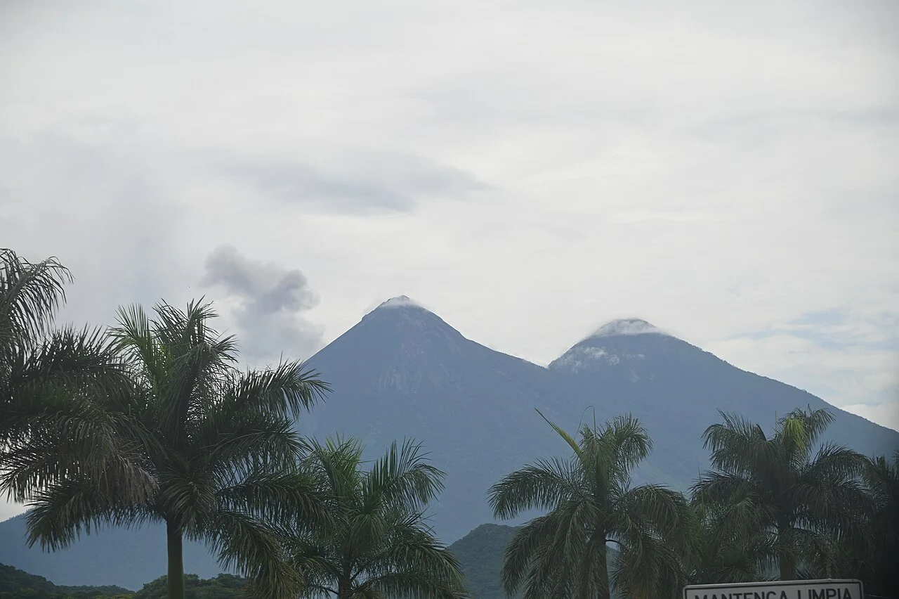
Acatenango's two-day climb is Guatemala's defining trek. Day one gains well over 1,000 metres through farms and cloud forest to a cold high camp opposite active Fuego. A predawn summit climb can reach 3,976 metres before the long descent.
Operator quality matters enormously. Compare shelter, sleeping-bag warmth, water, food, guide ratios and evacuation plans. Acclimatize first and do not join an illegal or unsafe approach toward Fuego. Clouds or volcanic restrictions may remove the famous view; the ascent must still be worth doing without it.
2. Summit Tajumulco
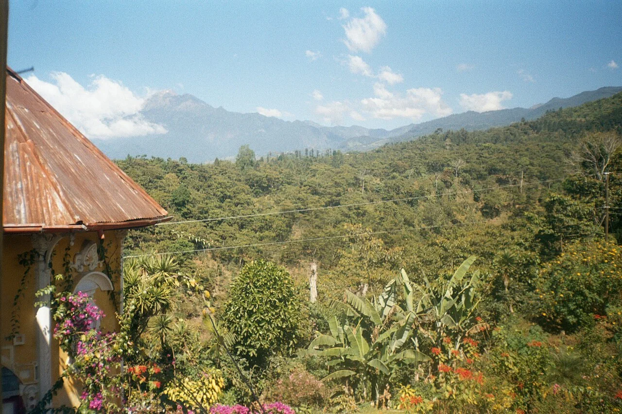
At 4,220 metres, Tajumulco is the highest point in Central America. The trail begins at significant altitude in San Marcos department and crosses open slopes to a broad summit area. Strong walkers attempt a long day; an overnight camp allows acclimatization and sunrise.
Cold, wind and cloud are serious despite the tropical latitude. Use a local guide, bring full insulation and carry water. Spend prior nights in the highlands rather than arriving directly from the coast, and descend for worsening altitude symptoms.
3. Hike Pacaya
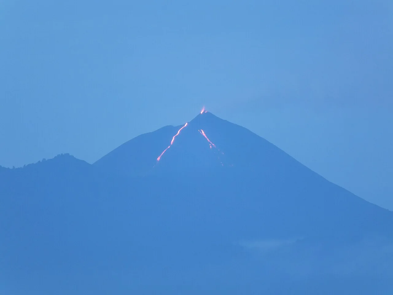
Pacaya provides the most accessible volcano walk near Antigua and Guatemala City. Guided routes cross forest, ash and older lava with views of the active complex; the exact trail changes with current volcanic restrictions.
Use an authorized guide, keep away from vents and fresh lava, and carry a headlamp for sunset descents. Horses may be offered on the climb, but hikers should evaluate animal welfare. A short distance does not eliminate loose footing, rain or gas exposure.
4. Climb Santa María
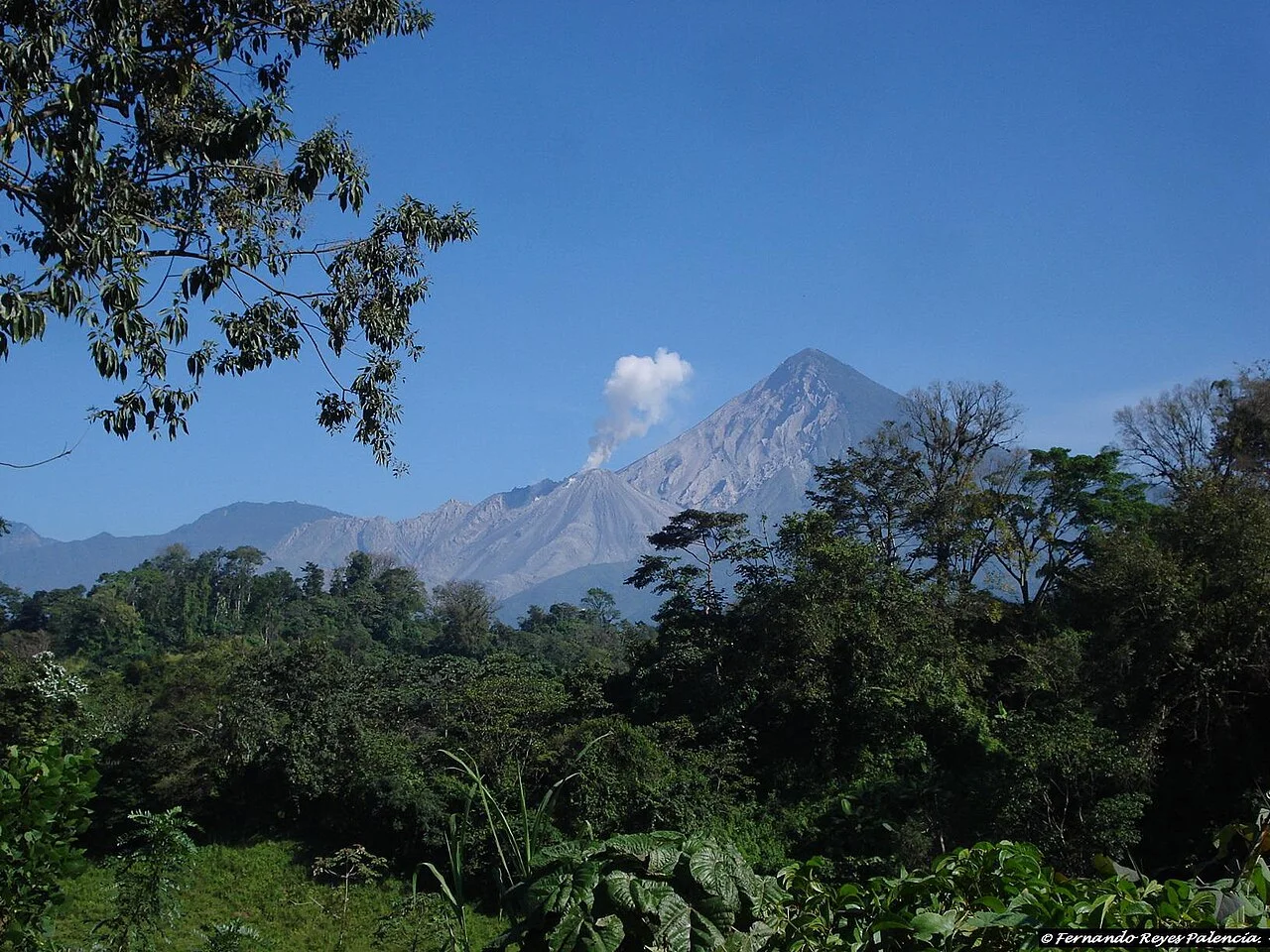
Santa María rises above Quetzaltenango in a relentless full-day ascent through forest and eroded upper trail. From the summit, suitable conditions reveal Santiaguito's active dome complex far below. The return commonly takes seven to ten hours.
Start very early with a reputable Xela guide and confirm local security. Never descend toward Santiaguito or enter exclusion areas. Carry warm layers, sun protection and more water than expected; cloud can erase the view but not the demanding descent.
5. Hike Volcán San Pedro
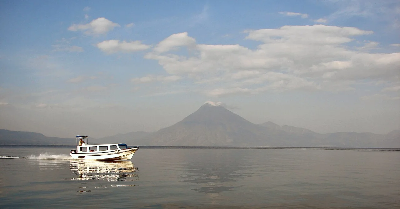
The trail from San Pedro La Laguna climbs roughly 1,500 metres through coffee and cloud forest to the 3,020-metre summit. It is a sustained six-to-nine-hour day, with Lake Atitlán views dependent on morning weather.
Confirm whether official access is open and hire locally because security conditions have varied. Start at dawn, stay together and turn around when cloud, fatigue or trail instructions demand it. The steep descent is hard on knees; poles help.
6. Watch sunrise from Rostro Maya
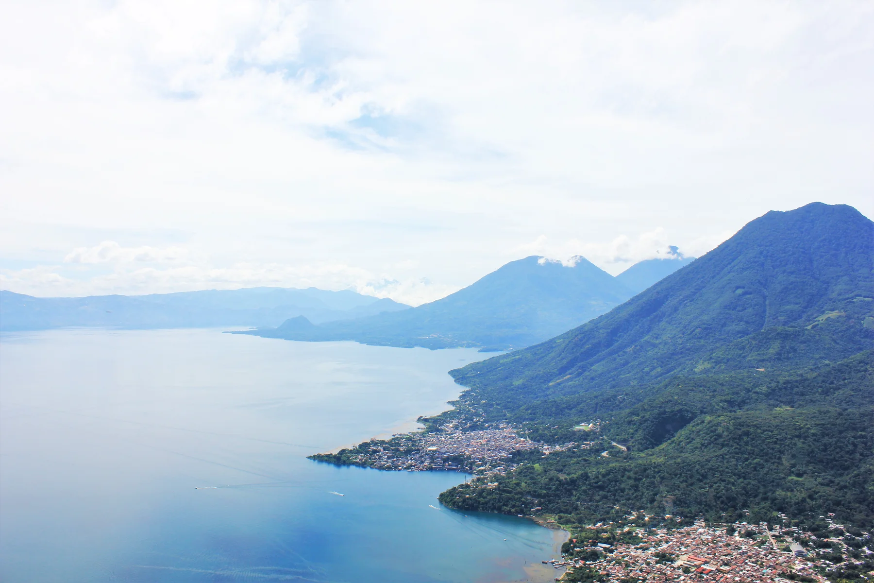
The ridge known as Rostro Maya or Indian Nose overlooks Lake Atitlán and its volcanoes. Sunrise tours normally begin from Santa Clara La Laguna for a shorter climb, while longer routes can start near San Juan. The view is exceptional, but access crosses community and private land.
Use a community-approved guide and pay the required fees; disputes and robberies have occurred on unauthorized approaches. Carry a headlamp and warm layer, remain on the designated viewpoint and avoid crowding ceremonial spaces.
7. Walk to Laguna Chicabal
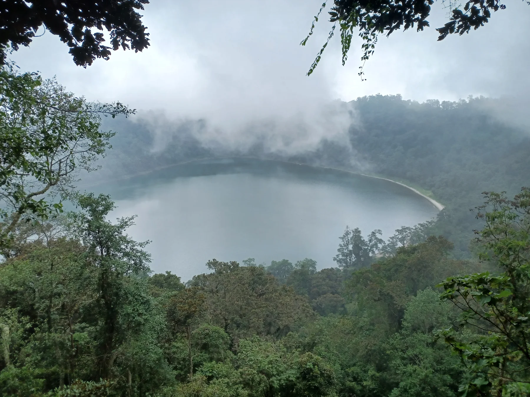
Chicabal is a forested volcanic crater containing a lake sacred to Mam Maya communities. A steep road and trail climb from the visitor area to the rim before stairs descend to the shore. Mist is common and reinforces the quiet atmosphere.
Swimming is prohibited, and ceremonies require distance and privacy. Check closures around important observances, use local guides and keep noise low. The route usually takes three to five hours, but wet steps and altitude slow the return.
8. Cross the Cuchumatanes highlands
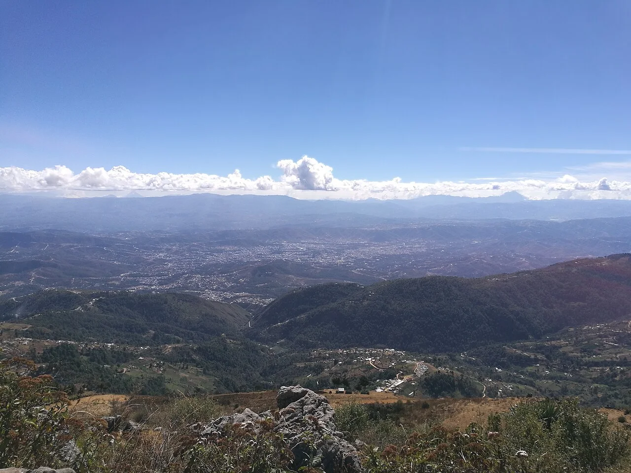
The Sierra de los Cuchumatanes contains Guatemala's broadest high-elevation landscape, with plateaus, limestone peaks and Mam communities above 3,000 metres. Guided hikes around Todos Santos Cuchumatán and La Torre can range from half-day ridge walks to multi-day village journeys.
Cold fog, sparse signage and community land make independent wandering unwise. Arrange a local guide, ask before photographing people or livestock and carry layers. A homestay or community lodge creates far more value than driving up only for a viewpoint.
9. Walk the Biotopo del Quetzal trails
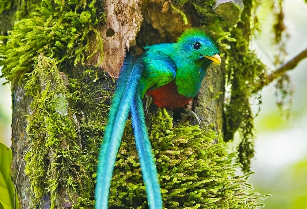
The Mario Dary Rivera Biotope protects cloud forest and habitat for the resplendent quetzal near the route to Cobán. Marked loops pass streams, giant ferns and waterfalls, offering a moderate two-to-four-hour nature walk rather than a summit.
Quetzal sightings are never guaranteed. Walk quietly near opening, bring rain protection and stay on trail to protect understory habitat. Confirm current hours and trail access with the protected-area manager before travel.
10. Hike through Tikal's rainforest
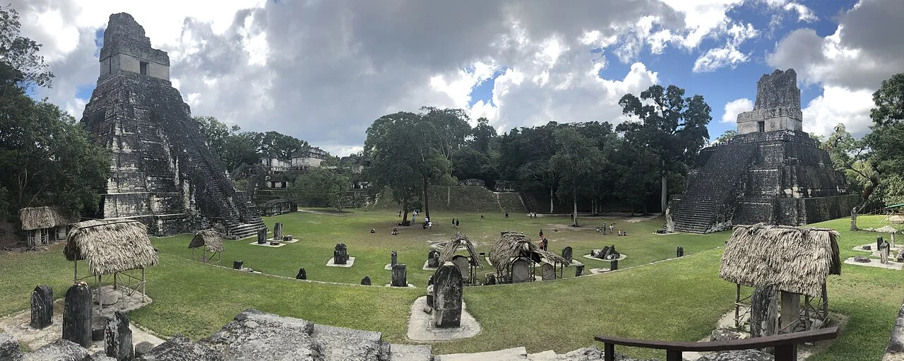
Tikal is primarily an archaeological site, but a full circuit covers many kilometres of lowland forest between temples, reservoirs and causeways. Beginning early with a naturalist-archaeological guide adds toucans, monkeys and forest ecology to the ancient-city experience.
Heat and humidity make water and pacing essential. Use only authorized sunrise entry, climb only opened structures and never feed wildlife. Allow a full day rather than rushing the Great Plaza; the long forest approaches communicate Tikal's scale.
When is the best time to hike in Guatemala?
The drier period from roughly November through April usually brings clearer volcano mornings and easier roads, but high summits remain cold and windy. The rainy season greens the landscape and strengthens waterfalls, while afternoon storms, mud and cloud complicate exposed climbs. Regional patterns vary, and tropical systems can disrupt any month.
Start volcano hikes early, acclimatize in Antigua or Quetzaltenango and keep a flexible day for weather or official closures. For focused climbing advice, read the best volcano experiences in Guatemala.
Before you go
- Hire guides through registered operators, parks or community organizations.
- Check CONRED, INSIVUMEH and local access information before volcano hikes.
- Carry rain gear, sun protection, warm layers, headlamp, food and sufficient water.
- Respect ceremonies, community land, photography preferences and official fees.
- Avoid isolated trails when local guidance identifies a security concern.