
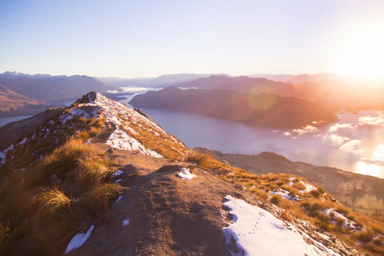
Roys Peak rises above Lake Wānaka with one of the South Island’s most memorable high-country views. The steep, sustained climb crosses open farmland and tussock slopes, and with every turn the lake and mountains spread wider below. The track reaches 1,578 metres at the summit; the familiar viewpoint sits just below it. Decide whether that panorama is your destination or whether you want to continue to the top.
Viewpoint or summit?
The well-known viewpoint sits about 30 minutes below the summit. Many walkers make it their turnaround point, with a sweeping view over the lake and the ranges beyond. Continuing to the top adds more climbing after the roughly 1,200-metre ascent, but rewards you with a summit perspective on the surrounding high country. Both options return along the same track; it is a challenging full-day hike, so choose the extra push based on how you feel on the day.
View in GoExploringSeasonal closure and getting there
The track closes each year from 1 October to 10 November for lambing. If your trip falls in that period, nearby Isthmus Peak is a spectacular alternative. Roys Peak starts from the car park on Wānaka–Mount Aspiring Road, which can fill on busy days; do not park on the road shoulder. Stay on the marked route across private land and check DOC’s latest alerts and mountain conditions before heading out.
For a coastal walk on the South Island, explore our Abel Tasman tide and booking guide.