
The Lycian Way takes you into coastal mountains, while Cappadocia’s valley paths pass through eroded volcanic rock and rock-cut spaces. Farther afield, the Kaçkar highlands and Nemrut caldera need their own travel plans. Pick one landscape to explore properly before adding a distant second region.
Plan each outing separately. The table compares physical effort; technical difficulty and exposure can differ. Each mission on the map has its location and preparation details.
Compare the experiences
| Experience | Physical effort |
|---|---|
| Trek the Lycian Way from Ovacık to Geyikbayırı | High |
| Hike Ihlara Valley to Selime | Moderate |
| Hike Göreme's Rose and Red valleys | Moderate |
| Hike the three-day Kaçkar botanical route | Moderate |
| Hike the Latmos trail to Yediler Monastery | Moderate |
| Hike inside Nemrut's crater caldera | Moderate |
Choose your route
Choose Ihlara for a river-valley walk or Rose and Red valleys for branching paths around Göreme. Latmos combines rural walking with the approach to Yediler Monastery. The Kaçkar itinerary includes road transfers, and a full Lycian Way traverse requires a much longer commitment.
Trek the Lycian Way from Ovacık to Geyikbayırı
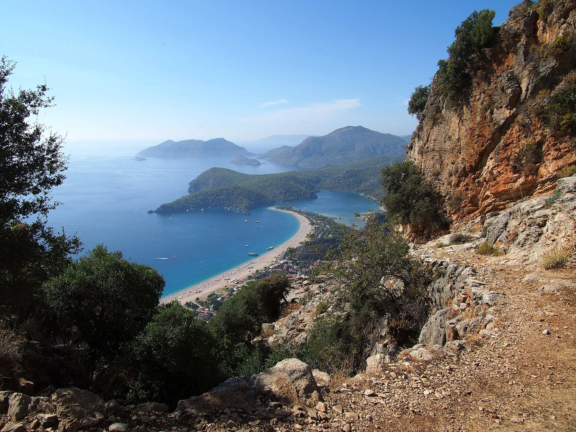
Follow the Lycian Way markings for roughly 540 kilometres from the Fethiye side of the Teke Peninsula toward Antalya. A full traverse takes about a month and crosses rugged coastal mountains, forests, villages and archaeological landscapes, so overnight stops, water and navigation need regular planning.
The Lycian Way was created as Türkiye's first long-distance walking trail.
The marked trail can be walked independently without a single through-ticket or mandatory guide. Plan accommodation or camping, seasonal water, navigation and trailhead transport before attempting the full route.
View in GoExploringHike Ihlara Valley to Selime
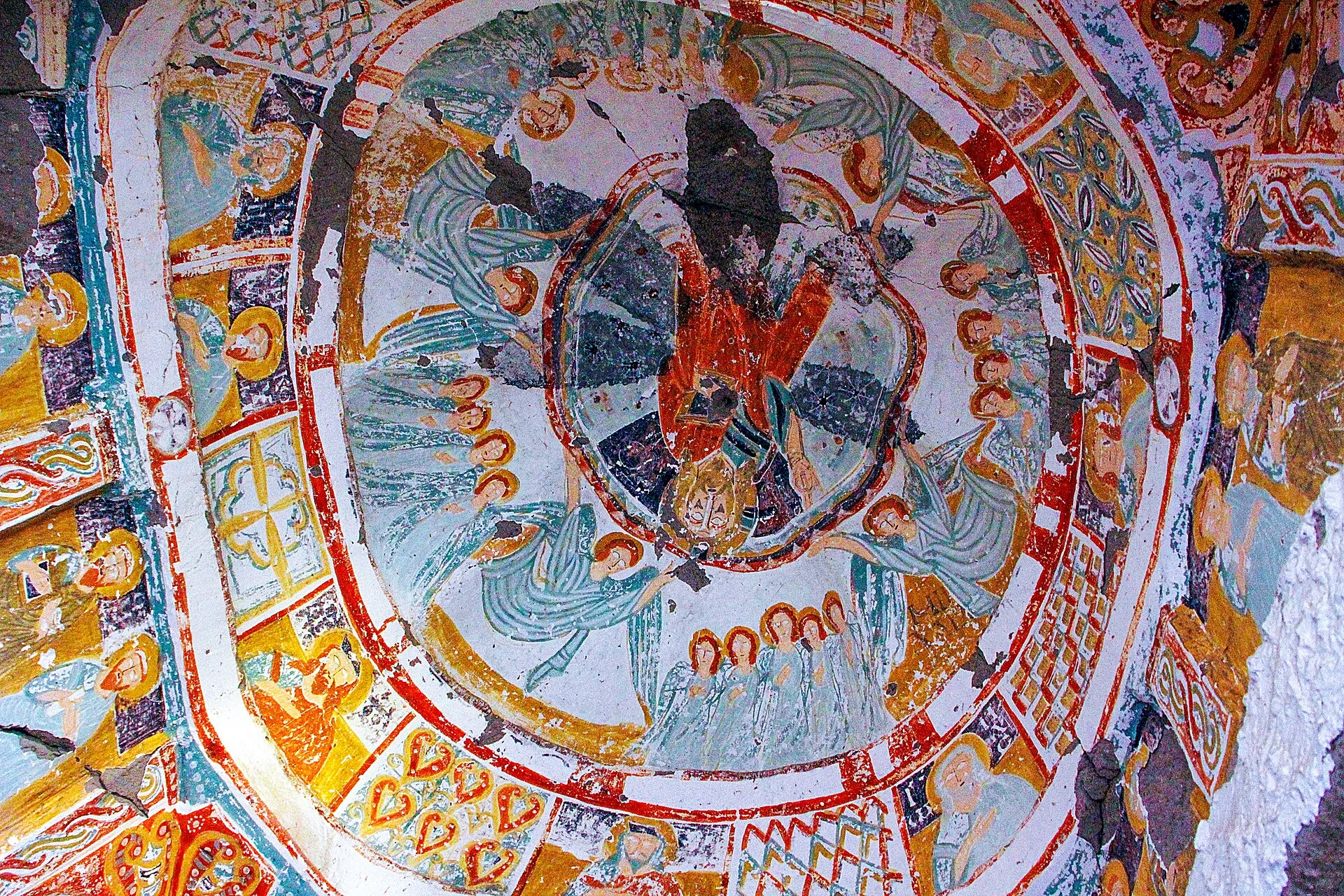
Descend into Ihlara Valley and follow the river path toward Selime, passing churches cut into the volcanic walls. The full route is about 14 kilometres, with stairs, uneven ground and several hours on foot.
The Melendiz River cut this deep canyon through volcanic rock, and Christian communities later carved churches into its walls. More than a hundred rock-cut churches are recorded across the wider valley.
Enter through an official archaeological-site entrance; admission is ticketed, with MuseumPass accepted where applicable. Check the current closing time before starting the full through-hike.
View in GoExploringHike Göreme's Rose and Red valleys
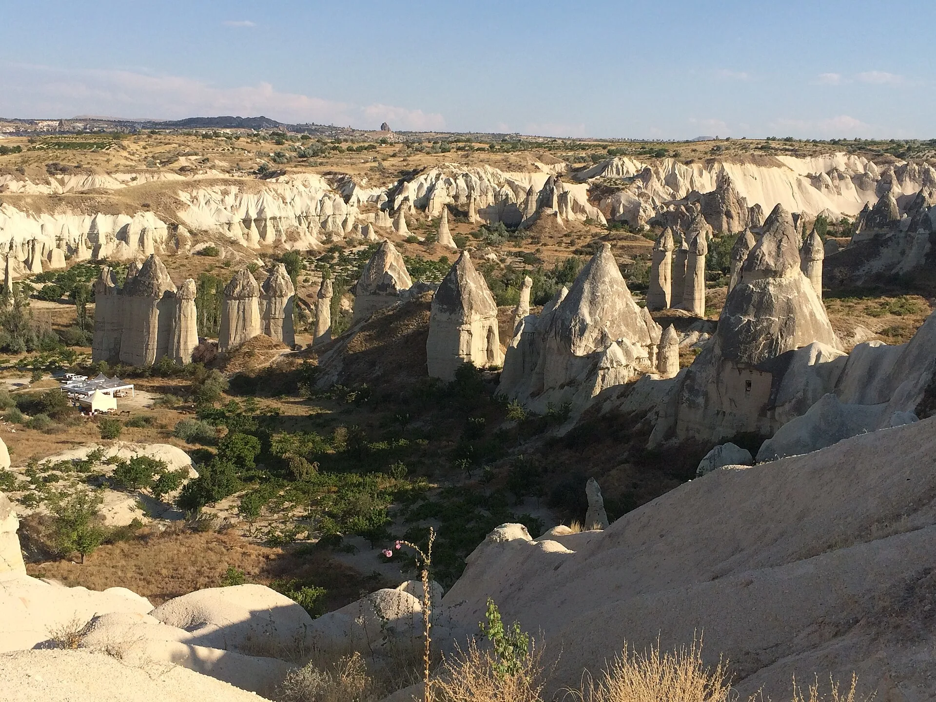
Follow footpaths from the Göreme area into Rose and Red valleys between eroded tuff walls, vineyard plots and rock-cut religious spaces. Junctions are numerous and some surfaces are loose, so carry reliable offline navigation and stay on established paths.
The paths through these valleys cross Cappadocia's eroded volcanic terrain.
The valley footpaths can be walked independently without a mandatory guide or route permit. Carry water and navigation, and check the access conditions of individual churches or managed entry points because they can differ from the open paths.
View in GoExploringHike the three-day Kaçkar botanical route
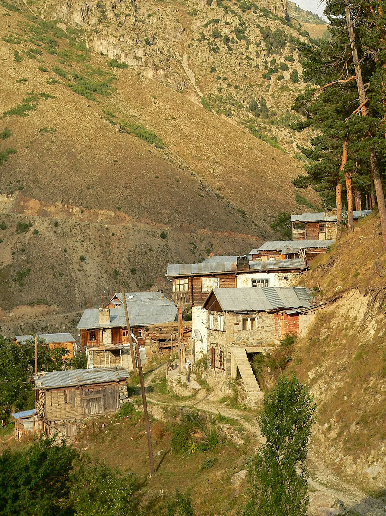
Follow the published three-day route from Amlakit toward Palovit, Elevit, Çat and Verçenik. Walking sections are linked by remote-road transfers, so this is not one continuous footpath and you need food, water and overnight arrangements between isolated plateau settlements.
The route combines the Kaçkar region's high-mountain flora with its network of yayla settlements. Glacial landforms and working highland landscapes remain part of the same three-day journey.
The published itinerary says a 4x4 can be essential for transfers between plateaus. Arrange accommodation or camping and check highland roads and weather before departure; no mandatory guide or formal permit is listed for the route.
View in GoExploringHike the Latmos trail to Yediler Monastery
Follow the roughly eight-kilometre route from Karahayıt toward Yediler Monastery at the foot of Mount Latmos. The trail crosses uneven rural ground past ancient rock inscriptions before reaching the monastery area and views over Lake Bafa.
Along this short route, prehistoric rock evidence and later monastic remains show the long human use of Latmos, with views over Lake Bafa.
No specialist equipment or mandatory guide is listed for the published walking route.
View in GoExploringHike inside Nemrut's crater caldera
Travel up to the Nemrut caldera near Tatvan and explore the accessible walking areas around its crater lakes and volcanic terrain. The basin is high and exposed, so snow, wind and fast-changing weather can limit both the road approach and your time on foot.
Nemrut's broad summit depression is one of Türkiye's major volcanic calderas.
Use the established seasonal road into the caldera and check current access and weather before travelling. Snow can block the approach outside the warmer season; no mandatory guide or specialist equipment is listed for ordinary summer walking.
View in GoExploringBefore you set out
For a Lycian Way traverse or the Kaçkar itinerary, arrange each overnight stop before departure. Download maps and confirm the road transfers or return journey. Read current trail notices as well as the forecast: snow and wet rock can make a non-technical walk much harder.
Explore more adventure activities in Türkiye.