

Mexico’s hiking ranges from short forest approaches to remote desert crossings and high-altitude climbs. Elevation, heat, weather and access vary sharply by region. Check local conditions, carry enough water and use experienced local support on remote or technical routes.
The 14 best hikes in Mexico
Climb Picacho del Diablo
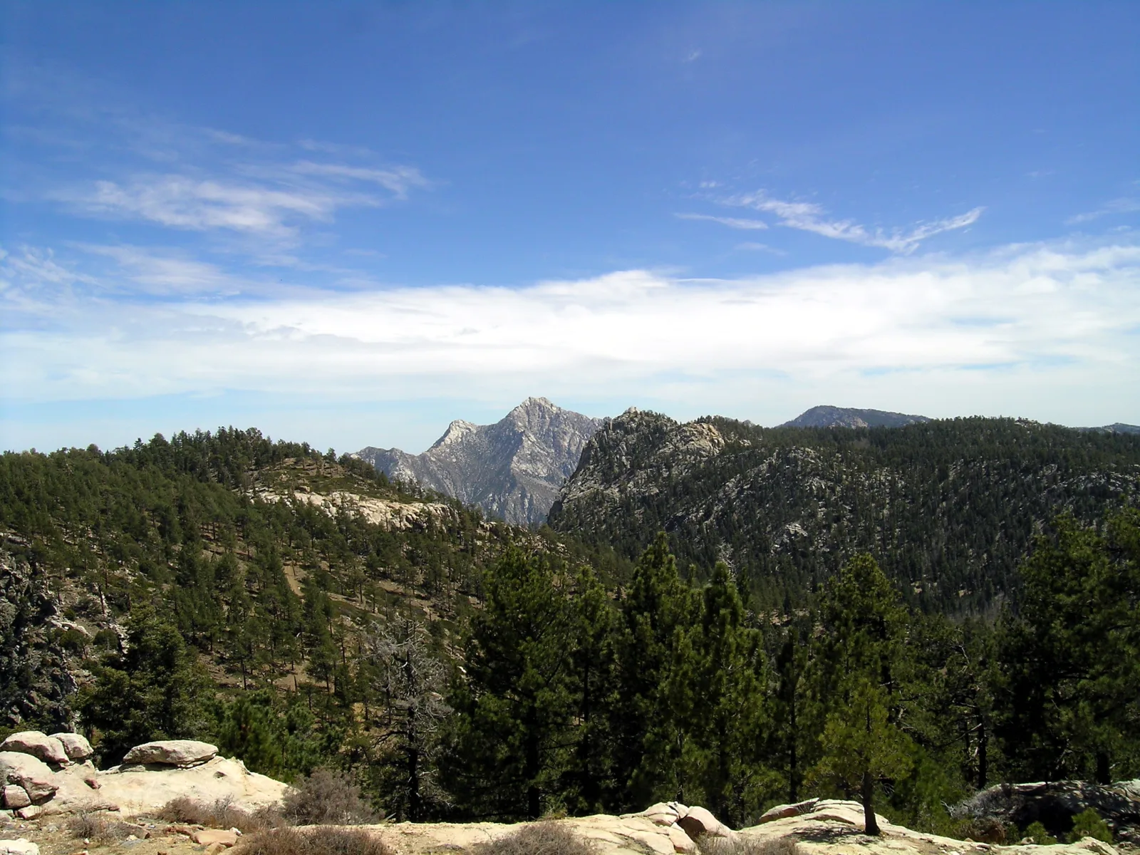
This demanding route in Sierra de San Pedro Mártir suits experienced hikers prepared for a remote approach and changing mountain weather. Confirm park access and plan navigation before setting out.
View in GoExploringHike Sierra de la Laguna to Picacho de la Laguna
The route climbs from Baja California Sur’s dry lowlands into the Sierra de la Laguna. Plan for a long outing and arrange local guidance for the trail and access.
View in GoExploringCross the Gran Desierto de Altar from Schuk Toak
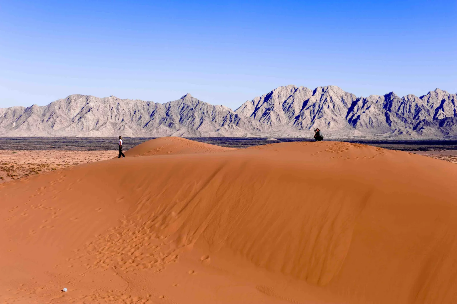
A desert route needs careful heat and water planning. Go with people who know the area, and avoid walking in the hottest part of the day.
View in GoExploringClimb Cerro Tetakawi above San Carlos
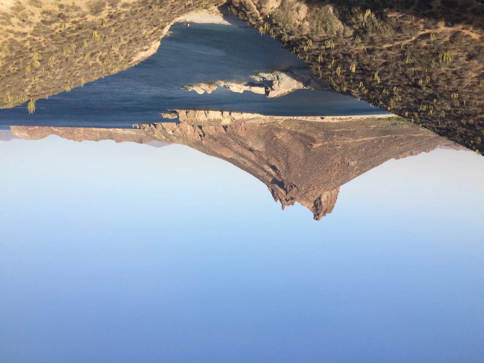
Tetakawi rises above the coast near San Carlos. The exposed climb calls for secure footwear, an early start and care on steep sections.
View in GoExploringClimb Cerro de la Silla above Monterrey
The mountain’s steep routes rise directly above Monterrey. Choose a route that fits your experience, carry water and check heat and storm conditions.
View in GoExploringHike Nevado de Toluca above the crater lakes
Nevado de Toluca combines high elevation with exposed volcanic terrain. Acclimatize, check park rules and keep to authorized trails around the crater.
View in GoExploringHike Iztaccíhuatl from La Joya
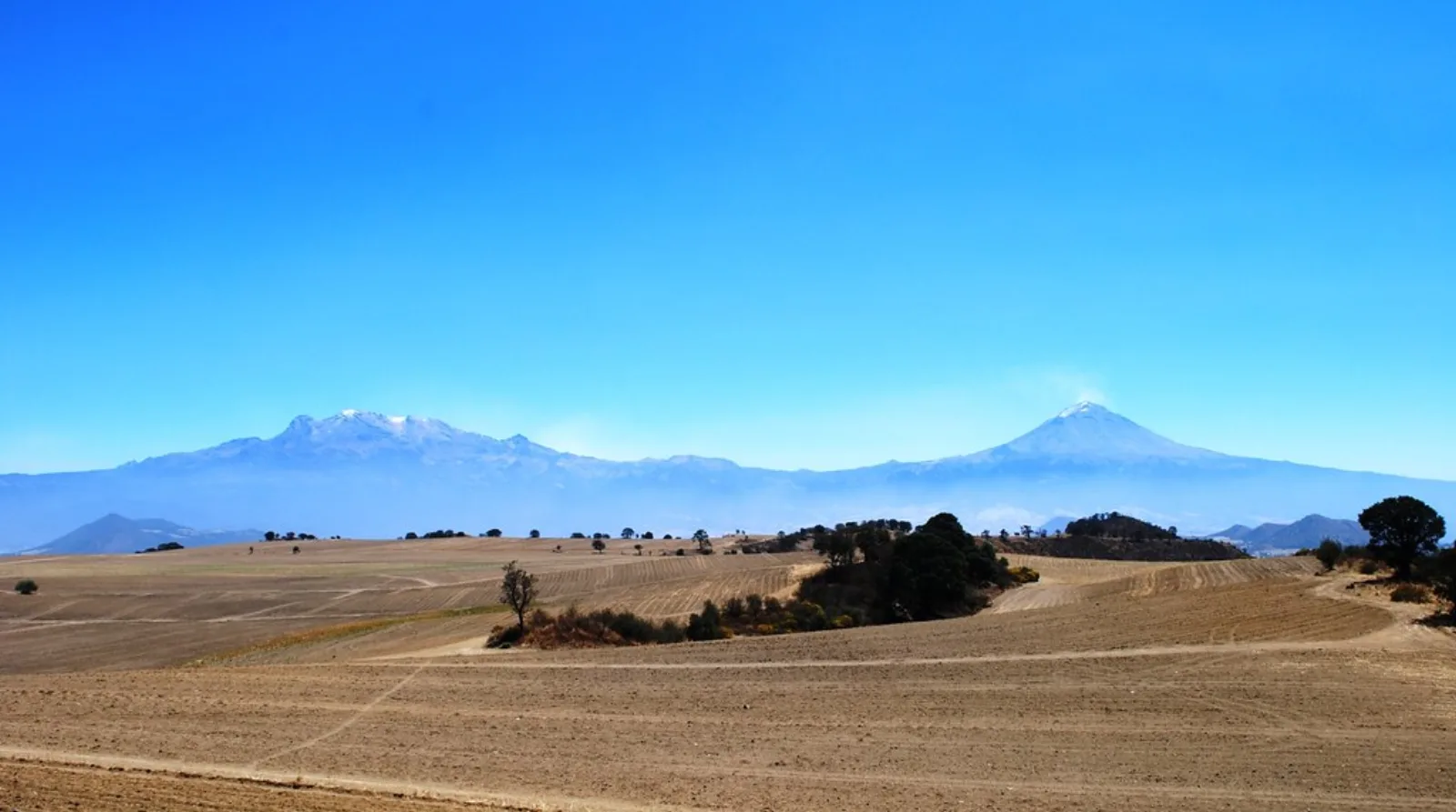
The La Joya approach enters high mountain terrain where weather and altitude shape the day. Check current park access and use a qualified guide for the route.
View in GoExploringClimb La Malinche from forest to summit
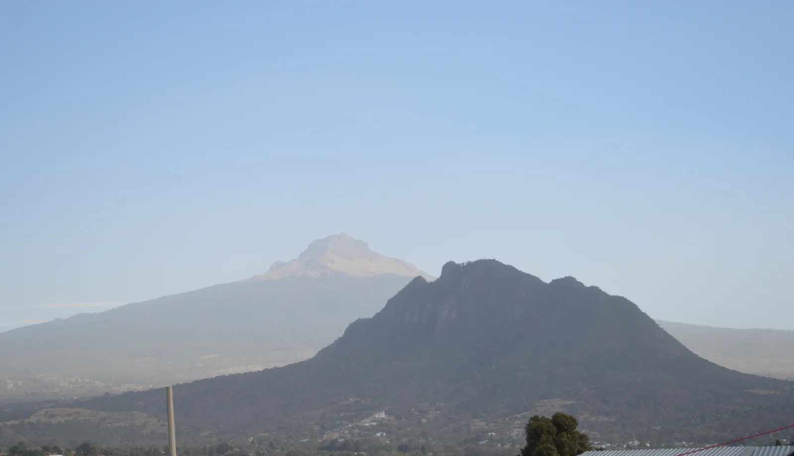
La Malinche climbs from forest to an exposed summit. Start with enough time, carry warm layers and turn back if altitude or weather becomes a problem.
View in GoExploringHike Cofre de Perote to its summit rock
The route to Cofre de Perote’s summit rock crosses high, open ground. Prepare for cold and wind even when conditions in nearby towns feel mild.
View in GoExploringClimb Pico de Orizaba
Pico de Orizaba is a serious high-altitude climb with glacier travel on the upper route. It requires mountaineering experience, technical equipment and a qualified guide.
View in GoExploringHike to Cola de Serpiente at Santiago Apoala
The route near Santiago Apoala leads through rugged Mixteca terrain. Arrange local access, carry water and check conditions after rain.
View in GoExploringHike Punta Cometa to the Pacific headland
Punta Cometa is a coastal walk to an exposed headland near Mazunte. Stay on established paths and keep back from the edge, especially in wind or low light.
View in GoExploringHike to El Tepozteco temple
The uphill route above Tepoztlán combines a steep walk with an archaeological destination. Check the site’s current opening status and carry water for the climb.
View in GoExploringHike to Cueva del Agua in El Cielo
This route in El Cielo reserve leads to a cave pool. Arrange access with local guides and follow their instructions around the water and cave entrance.
View in GoExploringPlanning your visit
Access, opening hours and conditions can change. Check with the responsible site or protected-area authority before you travel, and follow local guides and posted rules.
Official planning sources
For more ideas, see Mexico’s best adventure activities.