

Canada’s hiking routes range from a short walk to a viewpoint to multi-day travel through remote country. The terrain changes sharply across the provinces and territories, so choose a route for the season and your experience. Check current park alerts and trail reports before setting out; Parks Canada keeps trail condition pages for many national parks. Parks Canada trail conditions
Canada hiking at a glance
| Experience | Region | Best for |
|---|---|---|
| Upper Joffre Lake | British Columbia | Glacier-fed lakes |
| Crypt Lake | Alberta | Exposed mountain route |
| The Crack | Ontario | Rocky ridge |
| Gros Morne Mountain | Newfoundland | Alpine plateau |
| Akshayuk Pass | Nunavut | Arctic trek |
| Cape Split | Nova Scotia | Coastal cliffs |
The 12 best hiking in Canada
Hike from Lower to Upper Joffre Lake
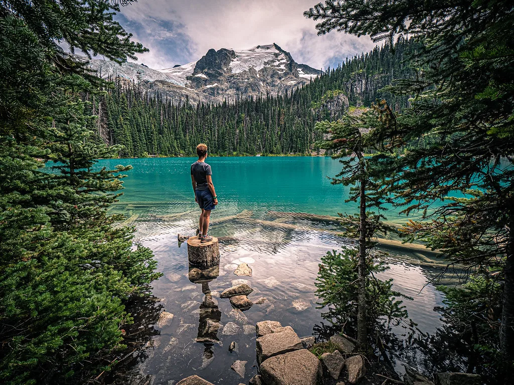
The trail links three glacier-fed lakes in the Coast Mountains. It climbs through forest before reaching the upper basin beneath icefields and peaks. Snow, mud and slippery ground can persist outside settled summer conditions. A free, date-specific day-use pass is required for the 2026 season; check the BC Parks page for current access details.
::
View in GoExploringHike Crypt Lake in Waterton
A boat crosses Upper Waterton Lake to the trailhead. From there, the route climbs through forest and past a waterfall before a tunnel, ladder and exposed ledges lead toward the hanging lake. Confirm boat operations and trail status, and turn back if the exposed sections exceed your comfort.
::
View in GoExploringClimb to the Tablelands in Gros Morne
The marked trail crosses an old roadbed beneath a rust-coloured plateau made of rock from deep within Earth. The route is relatively short, but open weather and loose stone can make it feel remote. Stay on the trail to protect the sparse plant communities.
::
View in GoExploringHike through The Crack in Killarney
A steep path crosses pale quartzite and threads through a narrow cleft in the La Cloche Mountains. From the ridge, forest and lakes stretch out in every direction. Expect rocky footing and use your hands in places; avoid the route when the rock is wet or icy.
::
View in GoExploringHike from Cyprus Lake to the Grotto
This Bruce Peninsula route reaches the Grotto, a limestone sea cave beside Georgian Bay. The shoreline draws crowds, and the rock becomes slick close to the water. Check the park’s current access and parking rules before travelling, and keep away from unsafe cliff edges.
::
View in GoExploringClimb Gros Morne Mountain
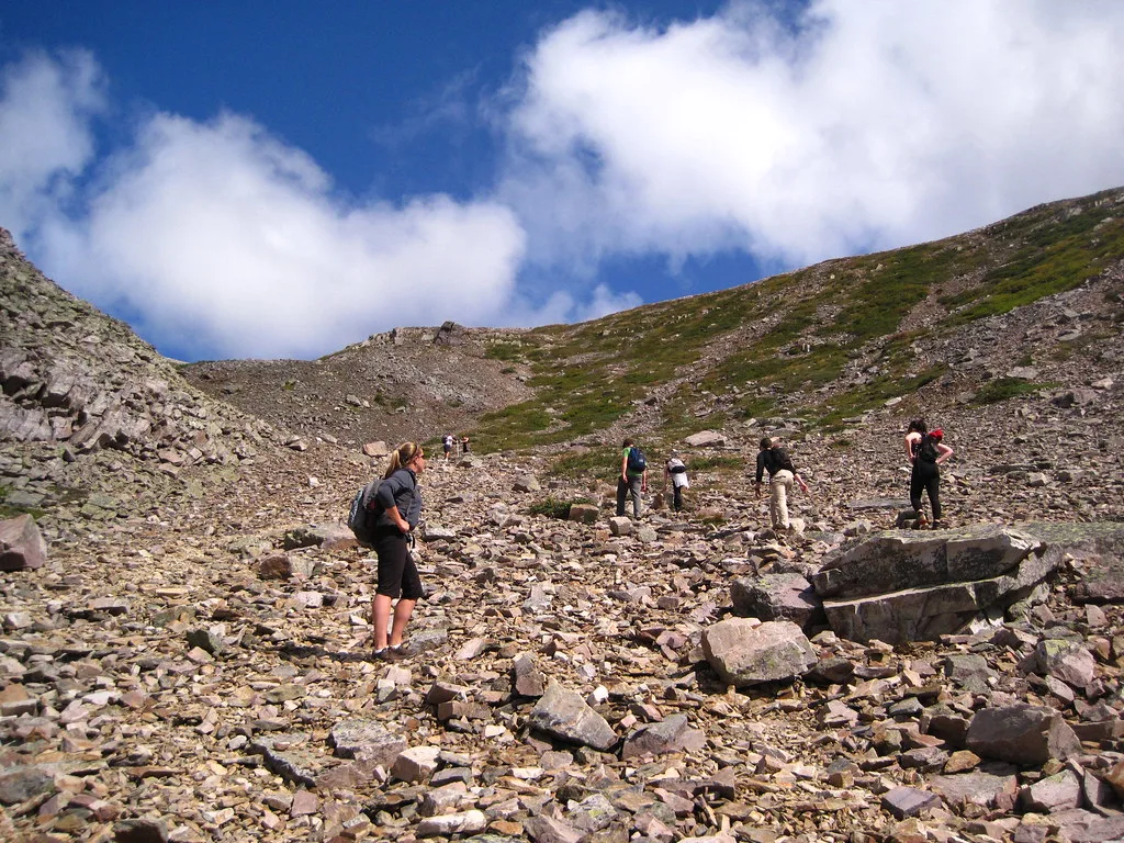
The route climbs from forest to an exposed alpine plateau with broad views over western Newfoundland. It is a strenuous day hike where weather can change quickly. Check the park’s trail report, carry layers and water, and leave enough daylight for the descent.
::
View in GoExploringHike Cape Split
A wooded trail leads to a headland above the Bay of Fundy, where the cliffs frame the Minas Basin. The return walk is long enough to require a proper day plan. Keep well back from the edge: the cliffs are unstable and the tide can make the shore route hazardous.
::
View in GoExploringWalk the Matapiiksi Trail at Writing-on-Stone
The trail follows the Milk River valley through sandstone formations in southern Alberta. It pairs an open landscape with the park’s cultural history. Use marked paths and follow site guidance around protected rock art and fragile surfaces.
::
View in GoExploringHike to the Top of the Giant
The Sleeping Giant’s high point rises above Lake Superior near Thunder Bay. The steep climb ends at exposed viewpoints over the lake and surrounding forest. Start early, carry water and check current trail conditions before committing to the ascent.
::
View in GoExploringHike Les Loups above the Jacques-Cartier valley
This route climbs above a glacial valley north of Québec City, with lookout points over the Jacques-Cartier River. The elevation gain makes it a demanding outing. Check the park’s trail status and weather, and bring enough food and water for the return.
::
View in GoExploringTrek across Akshayuk Pass
On Baffin Island, Akshayuk Pass crosses a broad Arctic valley between granite peaks, glaciers and river crossings. This is a remote multi-day trek that needs cold-weather shelter, navigation and emergency planning. Register with Parks Canada and review current advisories before entering Auyuittuq.
::
View in GoExploringHike the Long Range Traverse
The unmarked route crosses Gros Morne’s backcountry between fjords, high country and remote camps. Navigation and self-sufficiency matter more here than speed. Treat it as a wilderness expedition, check the park’s current registration requirements and carry equipment suited to rough weather.
::
View in GoExploring